
Frequently Asked Questions
1. What is a land survey, and why do I need one?
- A land survey is performed by a professional land surveyor for the purpose of describing, monumenting and mapping the boundaries and improvements of a parcel of land. A land survey will locate upon the ground the land that your deed describes.
- To protect the investment you are about to make when buying land.
- If you are buying or selling a piece of real property, most lending institutions will require a current survey for the purpose of revealing potential problems with boundary lines, easements, and encroachments.
- If you are getting ready to build a fence or other improvement near a property line.
- If a property line or property corner is unknown or in dispute, or if you believe someone is encroaching on your land.
2. How much does a land survey cost?
- An estimate of cost can normally be furnished to you by the land surveyor. Land surveying cost is dependent upon several factors such as the type of survey required, the type of terrain, and the availability of existing records and monuments. In addition to salary costs, surveying fees include an allowance for business overhead, such as taxes, office rent, and other items of cost essential for a surveying service.
3. How long does a land survey take?
- This depends on many factors including but not limited to type, size, age of record documentation, accessibility, growth of vegetation, and amount of existing conditions.
4. What types of land surveys are there?
- While there are many types of surveys, here at Vanderhoof Surveying, we only provided the survey services listed on our services page.
5. What am I paying for?
- Research – of avaliable information/documention of subject parcel.
- Deed Sketch – entered in the computer by a survey technician to check for possible overlaps, gaps, or other potential conflicts.
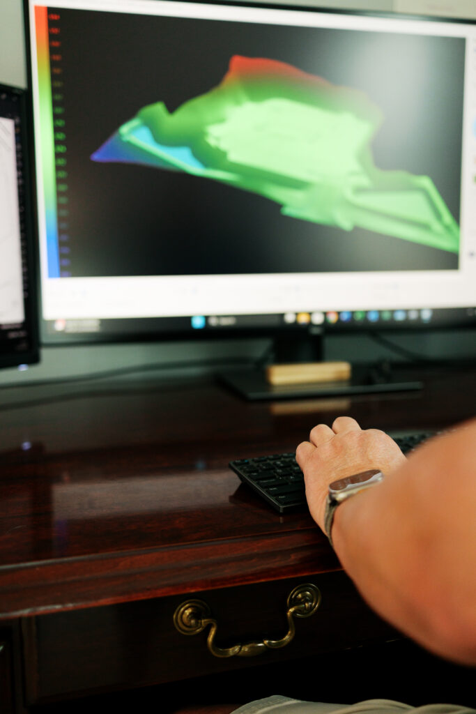
- Field Work – Depending on the selected service, a survey crew will be sent to collect boundary evidence for retracement of subject parcel while also tying any needed adjoining monumentation. For construction, the crew will perform any staking or as-built survey requested by the contractor. The data collected from the field is then turned into the office for QA/QC.
- Boundary Resolution – If needed, a licensed PLS will analyze the data gathered in the field and complete a boundary resolution.
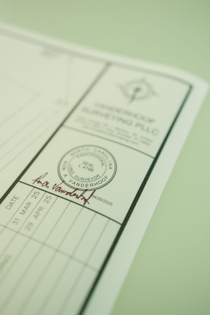
- Mapping – After a boundary resolution and field work, a CAD Technician will draft the plat/as-built survey.
- Recording Fees – All local jurisdictions may have a fee schedule that ranges for review fees. All counties in North Carolina charge a $21 recording fee per sheet.